
San Miguel County
Risk MAP Status: Current/Ongoing Project
Active Projects

Paper FIRM Conversion
Focuses on counties and communities that are still utilizing paper FEMA floodplain maps.
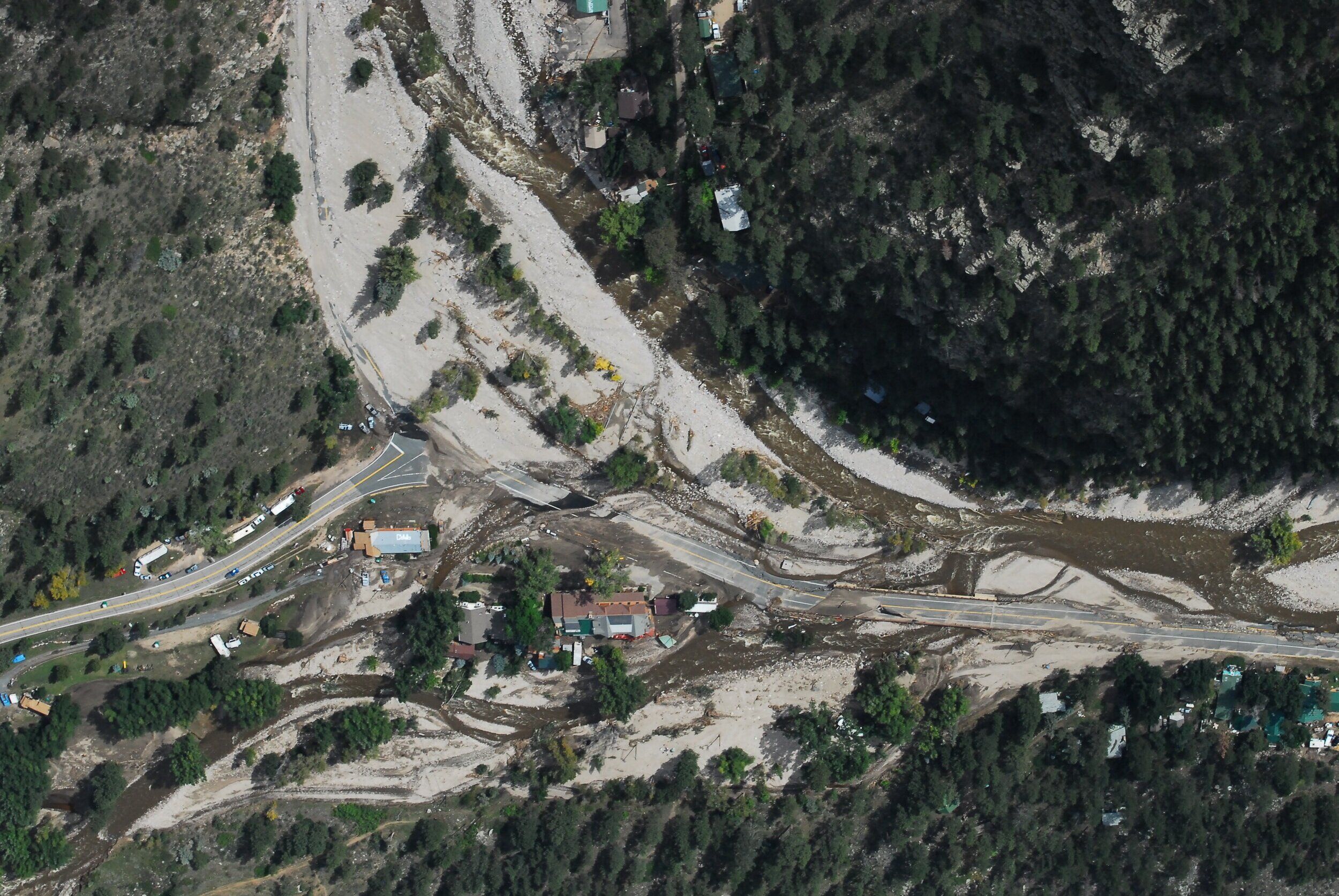
Fluvial/Erosion Hazard Mapping
The identification of fluvial hazard zones (FHZ) to identify lands most vulnerable to fluvial hazards in the near term.
San Miguel Countywide Risk MAP
As part of the original state-funded Colorado Hazard Mapping Project scope, San Miguel County has been transitioned to a FEMA Risk MAP county-wide study, impacting the communities of Sawpit, Telluride, and Unincorporated areas of the county. San Miguel County currently uses paper FIRM maps that were effective in 1992. Once this study is complete, San Miguel County will be updated to digital mapping with updated special flood hazard areas for all effective streams. In total, approximately 14 miles of detailed (Zone AE) and 240 miles of approximate (Zone A) riverine analysis.
Loading...